Plan
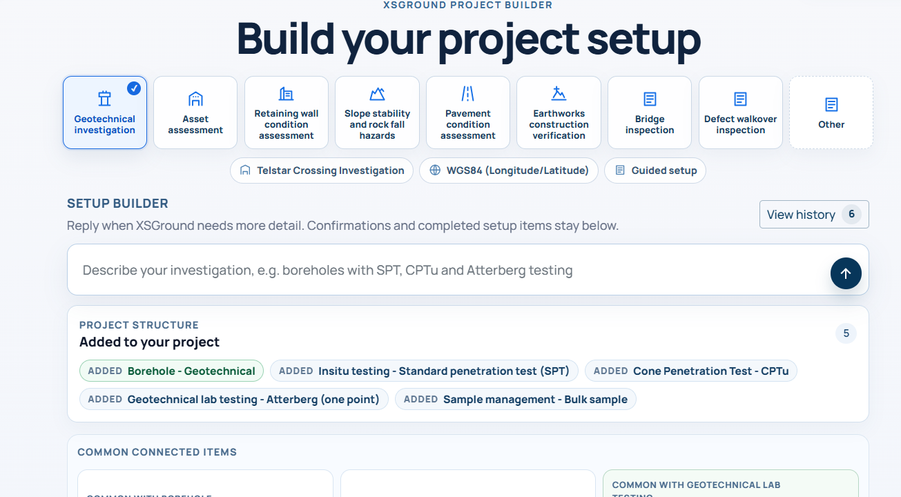
Set up investigation locations, investigation types and required project fields.
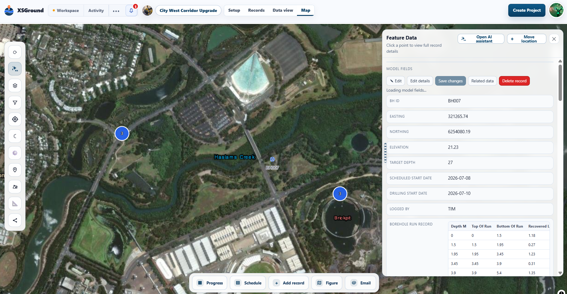
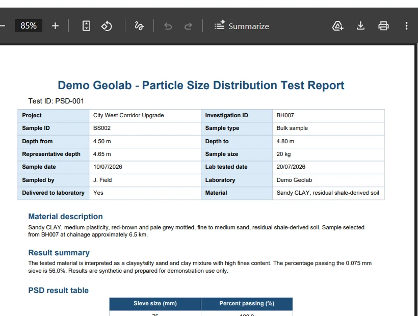
Plan fieldwork, capture records and photos, connect laboratory results, track progress and review every test in one live workspace.
Built by a geotechnical engineer · Import XLSX, CSV and AGS4 · No payment required
Workflow
Set up investigation locations, investigation types and required project fields.
Record information on site or import existing spreadsheets and results.
Review locations, logs, samples, tests, photos and documents together.
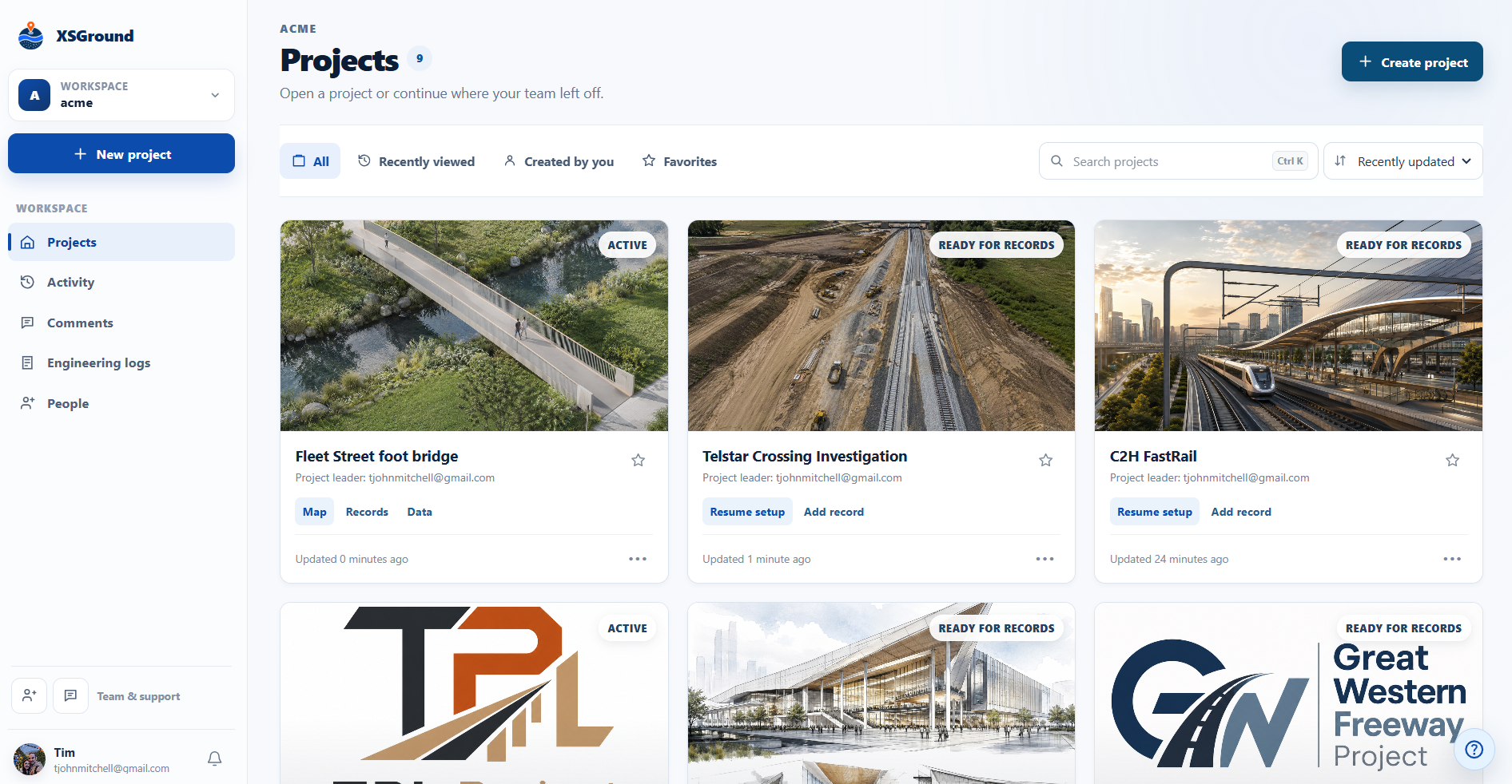
Track progress, share controlled access and export project outputs.
Geotechnical field app
Add investigation records from site or import existing spreadsheets. Coordinates, descriptions, photos, samples, tests, results, comments and status updates remain connected to the relevant location and available to the project team.


Use cases
Use the same field-to-map workflow for geotechnical investigations, inspections, monitoring and other location-based assessment work.
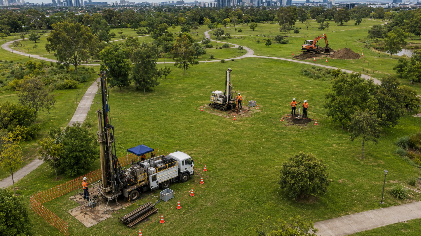
Plan boreholes, CPTs, test pits, samples, results and progress around one live map.
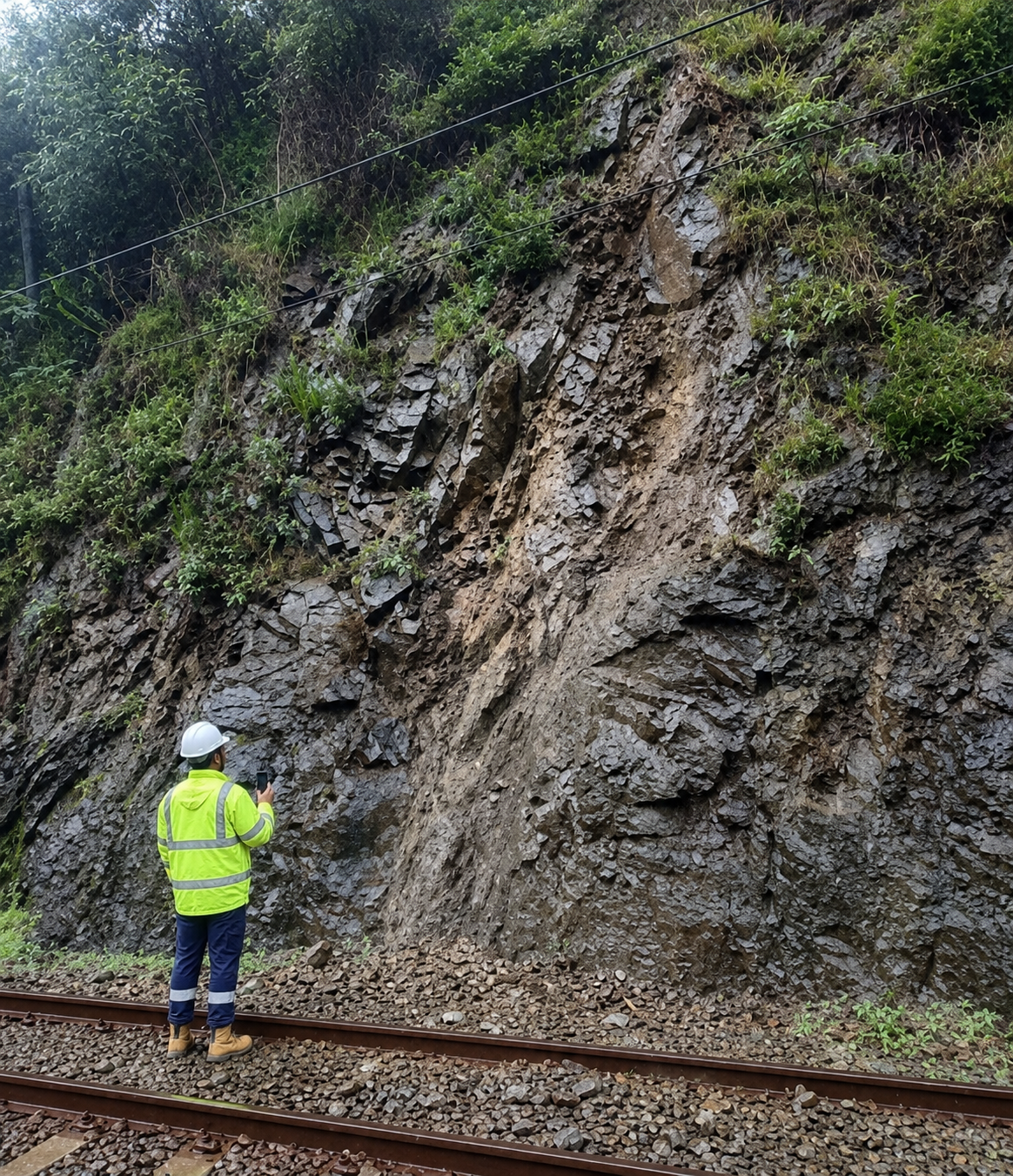
Capture inspections, photos, hazards, controls, ratings and follow-up actions.
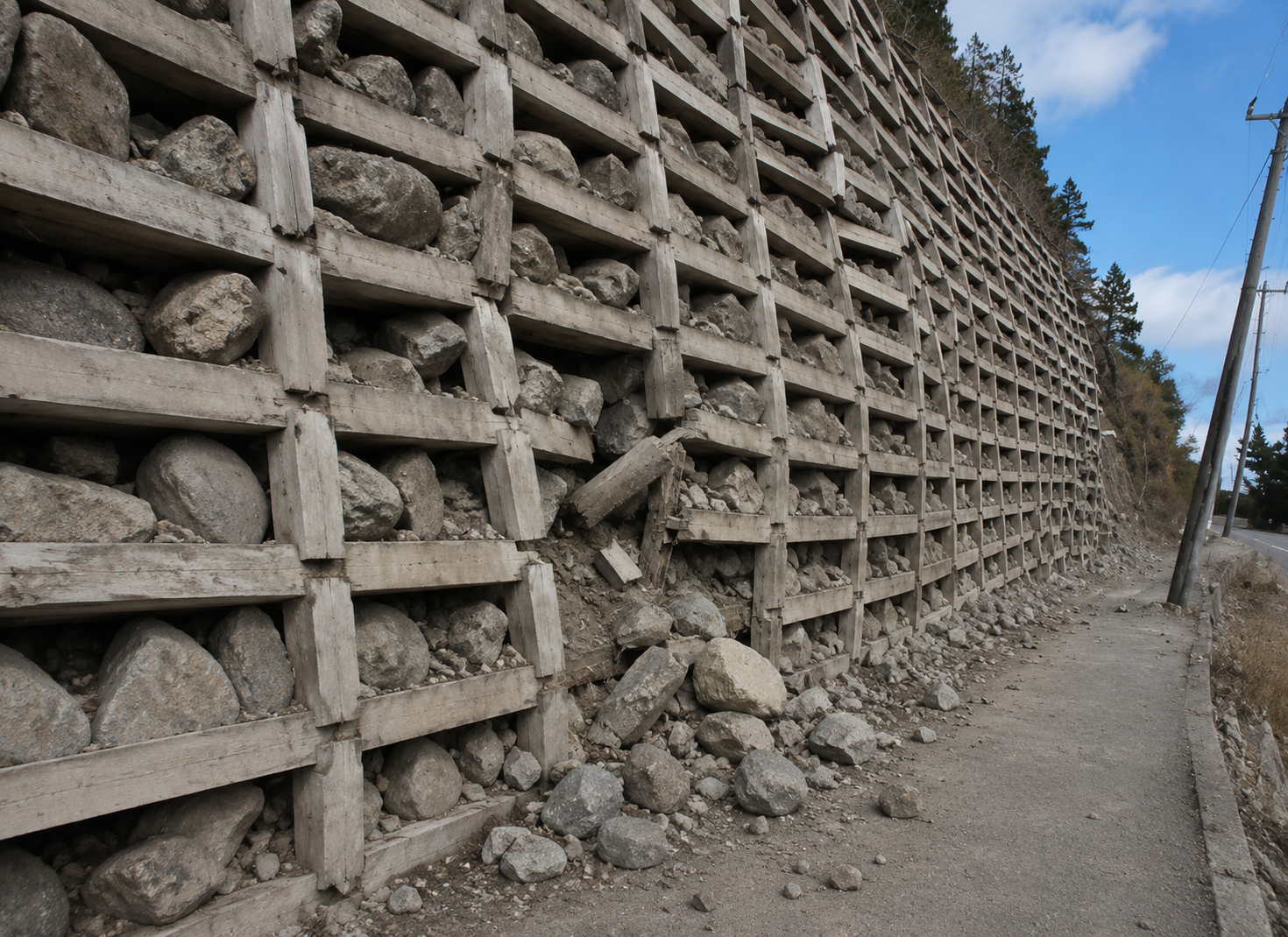
Record condition, defects, severity, evidence and recommended actions in the field.
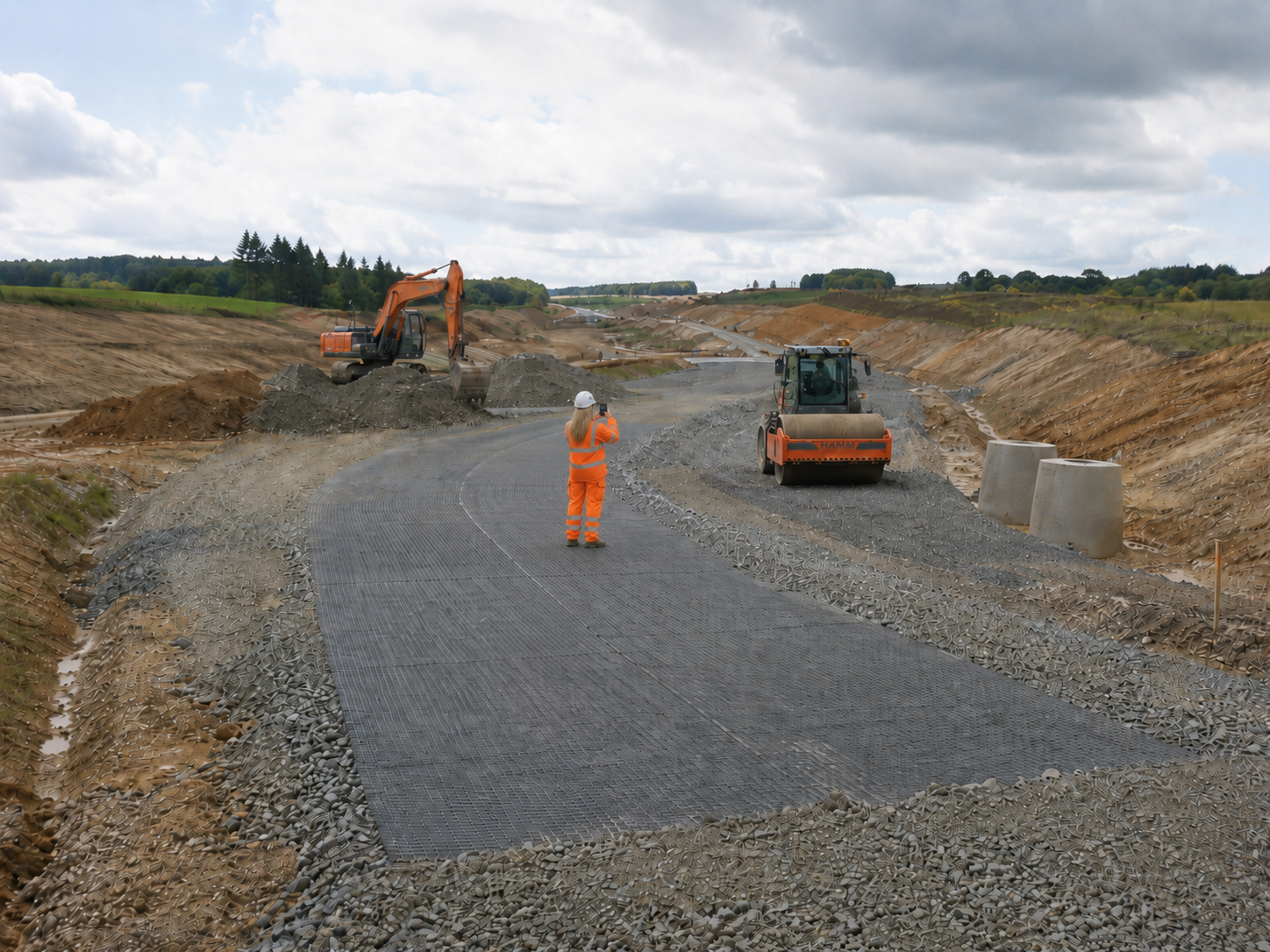
Track inspections, QA records, hold points, lots, test results and updates.
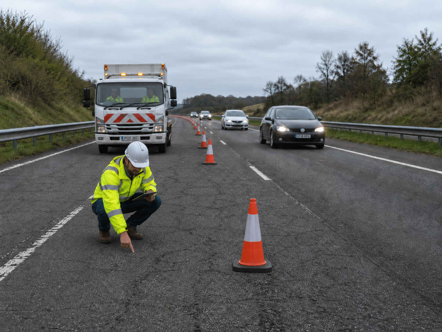
Map defects, attach evidence, rate condition and produce clearer outputs.
Common questions
Yes. Import XLSX or CSV data through staged mapping and conflict review, and upload AGS4 at project level for matching to AGS4-enabled investigation records. Read the import guidance.
Yes. Export records as workbooks and download supported figures, logs and project packages so project information can be reviewed, handed over and retained outside XSGround. Review records and export guidance.
Yes, for supported mobile record work. The app can save new records and edits locally and queue them for sync when a connection returns; file and series uploads still need a connection, and users should confirm sync status before relying on field changes. Read the mobile and offline guidance.
Yes. Controlled viewer access lets clients and reviewers inspect permitted map and record information without setup, upload or editing permissions. Project leaders control what viewers can see. Read the viewer map guidance.
Only selected project context is supplied when an AI feature is used. Privacy controls can omit fields and replace project names and record identifiers with aliases before context is sent. Read the AI guidance or review the privacy policy.
Try it on a real project
Start a risk-free trial with your team on one proof project, or book a walkthrough to review security, AI controls and rollout before you begin.